An FAA-Approved B4UFLY Service:
Air Aware

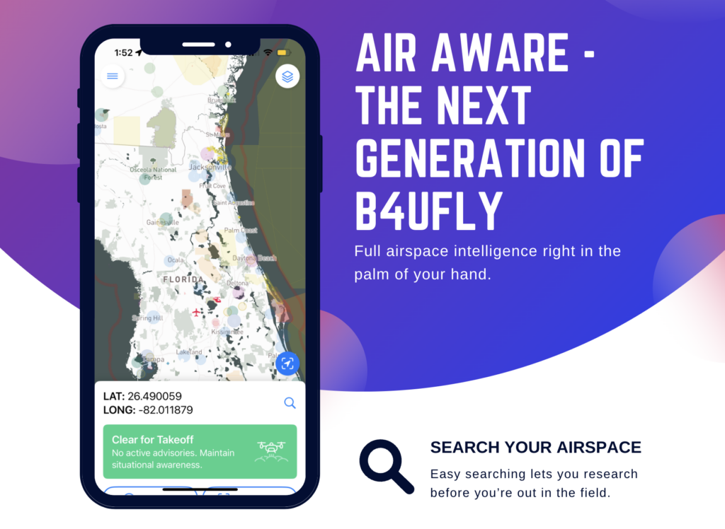
Building on the highly rated and popular B4UFly platform, Aloft and Pilot Institute are proud to announce Air Aware — a next generation application for maximum airspace transparency. This new app makes it easy to understand the airspace you’re flying in and also includes the largest dataset of terrestrial rules for drone operation in the world.
Air Aware is a free application that’s available on both iOS and Android operating systems. It uses official data, updated in near-realtime from the Federal Aviation Administration in order to show you TFR’s, Airspace, and more.
Air Aware has been rewritten from the ground up to be fast, performant, and easy to understand. Have confidence about where you’re flying.