Adding State and County Data Layers for Local Compliance & Situational Awareness
Watch the video above to learn how to submit an airspace advisory, flag an existing advisory for review if inaccuracies are found, & get LAANC in the new version of the B4UFLY app.
Coinciding with the FAA’s Drone Safety Awareness Week, Aloft formerly known as Kittyhawk is releasing a new update to B4UFLY that adds a new layer of localized advisories with the ability for the largest community of drone pilots and airspace stakeholders to impact safe and compliant drone flights.
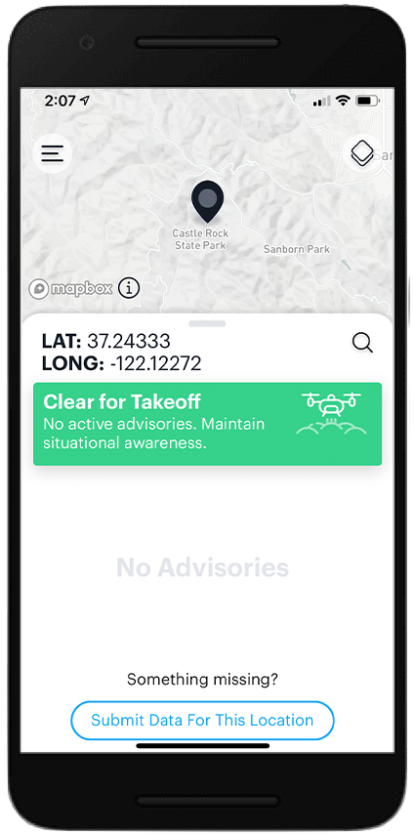
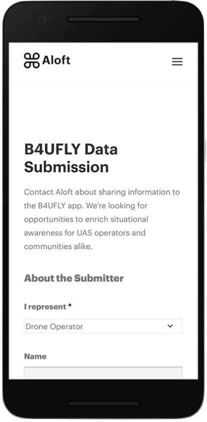
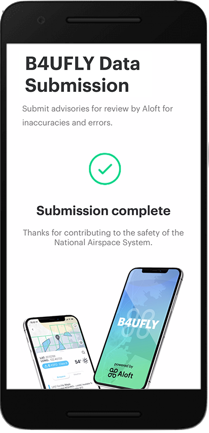
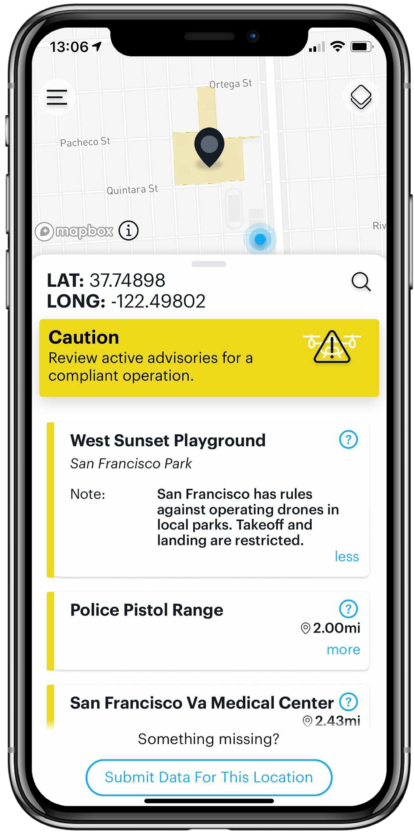
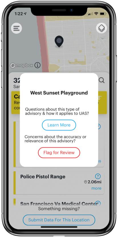
B4UFLY started as the authoritative app to understand where to fly your drone, but where you operate from is just as important. Where to safely fly your drone needs to account for your takeoff, landing, and complete area of operations. Over the last year, one of the biggest areas of feedback we’ve received has centered around “missing” advisories. Drone pilots are seeking out information — both airspace and local ground rules — to understand where they should operate. When information relevant to takeoff and landing are missing, people question the validity of the data presented. With today’s update, Aloft is addressing this in two ways — crowdsourcing advisories from users combined with publishing new authoritative local data sources.
One of the new datasets we’re adding starts in Aloft’s headquarters. San Francisco is a top 20 city in terms of population but ranks in the top 5 of most active cities in B4UFLY. Educating drone pilots of not only airspace regulations but also local advisories and requirements for flight has been a challenge for the city.
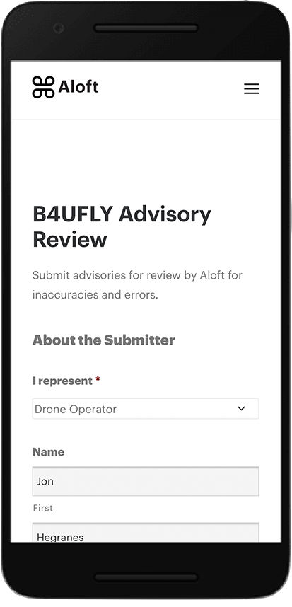
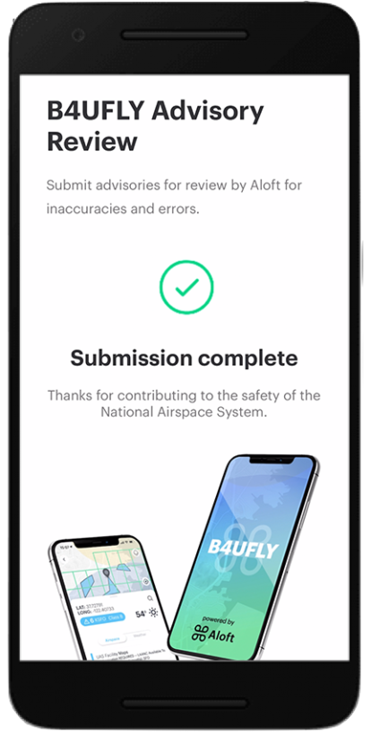
Having just surpassed 6.5 million airspace safety searches across all 50 states and territories, Aloft is continuing to engage additional cities, states, and countries to include their data in the world’s authoritative database for safe and compliant drone flight. Drone pilots from over 200 countries have accessed B4UFLY looking for safety information, and we’re making it easier than ever to engage with your data. Simply download the app and submit your areas and advisories for review, or feel free to contact us directly at team@aloft.ai. We’re dedicated to impacting the safety of the airspace and providing the ultimate resource to understand complete situational awareness.
Download the latest version of B4UFLY today on the Google Play Store or App Store.
Watch the New Feature Update to the B4UFLY App: Crowdsourcing Demo & Q&A with Aloft (formerly Kittyhawk) CEO and Founder, Jon Hegranes On-Demand.


